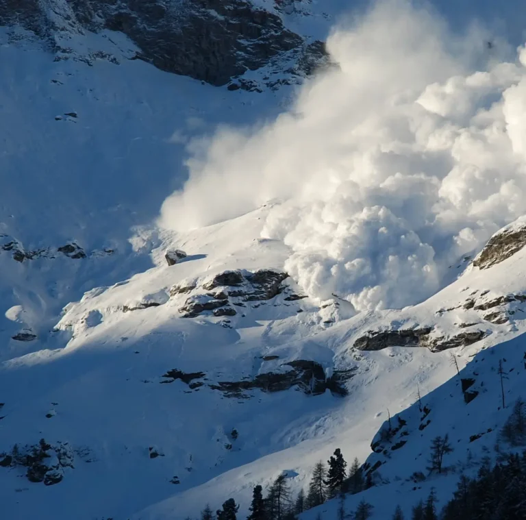
Avalanche danger in the Alps calls for caution: “If in doubt, call off the trip”
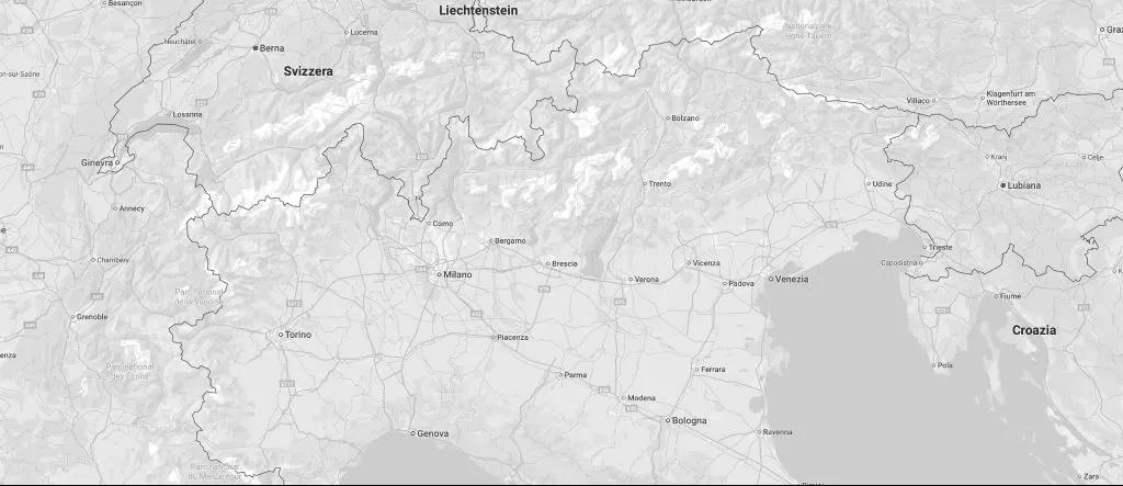
The avalanche bulletin reports a level 3 “considerable” danger in the Cottian and Maritime Alps above 2,500 metres, due to unstable wind-drifted snow.

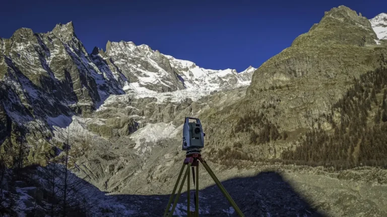
Drone photogrammetry and laser scanning make it possible to measure seasonal changes in snow and ice precisely, supporting risk management at high altitude.
Measuring how snow and ice change over the seasons is essential to understand how slopes evolve and to prevent risks in high mountain areas. The latest surveying techniques produce very detailed three-dimensional terrain models in a short time.
By comparing repeated drone photogrammetry and laser scanning surveys, it is possible to calculate snow and ice thickness and volume, identify areas that are changing quickly and provide reliable data to those who manage the land.
The avalanche bulletin reports a level 3 “considerable” danger in the Cottian and Maritime Alps above 2,500 metres, due to unstable wind-drifted snow.
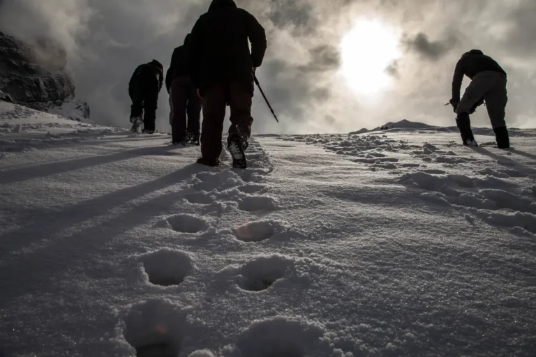
From 4 to 7 April 2022, the AINEVA 2B course for artificial avalanche release operators and assistants was held in Pila (Aosta).
We have opened a new local office in Aosta, at Via Garin 1.
Interested in this story?
A ski area to develop, a slope to make safe, a survey to carry out: tell us about your project. Our technical team will reply directly.