Geomatics
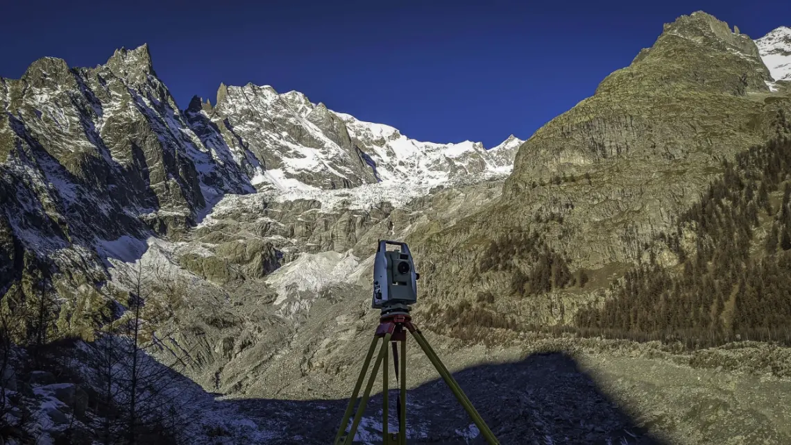
We use the latest surveying and spatial data processing technologies, from precision photogrammetry to laser scanning, to deliver data with very high added value.
Every sector that deals with the land needs high-definition, precise and accurate three-dimensional spatial data. And it needs it fast.
In a rapidly changing world where spatial information plays a central role, geomatics is a natural fit: environmental and civil engineering, forestry and agricultural sciences and geology all need reliable data about the land. The Areaquattro team meets this challenge with the latest surveying and spatial data processing technologies, grounding its skills in continuous training and research, and brings the experience of twenty years of work in complex mid- and high-mountain environments.
Advanced reality capture techniques, such as precision photogrammetry and laser scanning, have long been used to survey rock faces, slopes, watercourses and forest stands. The result is data of very high added value, a solid basis for geomechanical studies, the design of land protection works, hydraulic assessments, forest inventories and environmental models.
Areas of work
Digital twins of the land
- aerial and terrestrial photogrammetric surveys
- terrestrial laser scanning
- lidar surveys from drones or helicopters
- mobile mapping surveys
- precision topographic surveys
- satellite image analysis
GIS and webGIS
- custom applications to manage and display land data
- field data collection applications
- hardware and software hosting infrastructure
Topographic monitoring
- design and build of monitoring systems for infrastructure and natural features
- system installation and management
Support and training
- support with using and analysing 3D data
- training in geomatics techniques
Interested in this area of work?
Get in touch!
A ski area to develop, a slope to make safe, a survey to carry out: tell us about your project. Our technical team will reply directly.